Professional solutions with state-of-the-art technologies for geodesy, engineering, construction and monitoring.
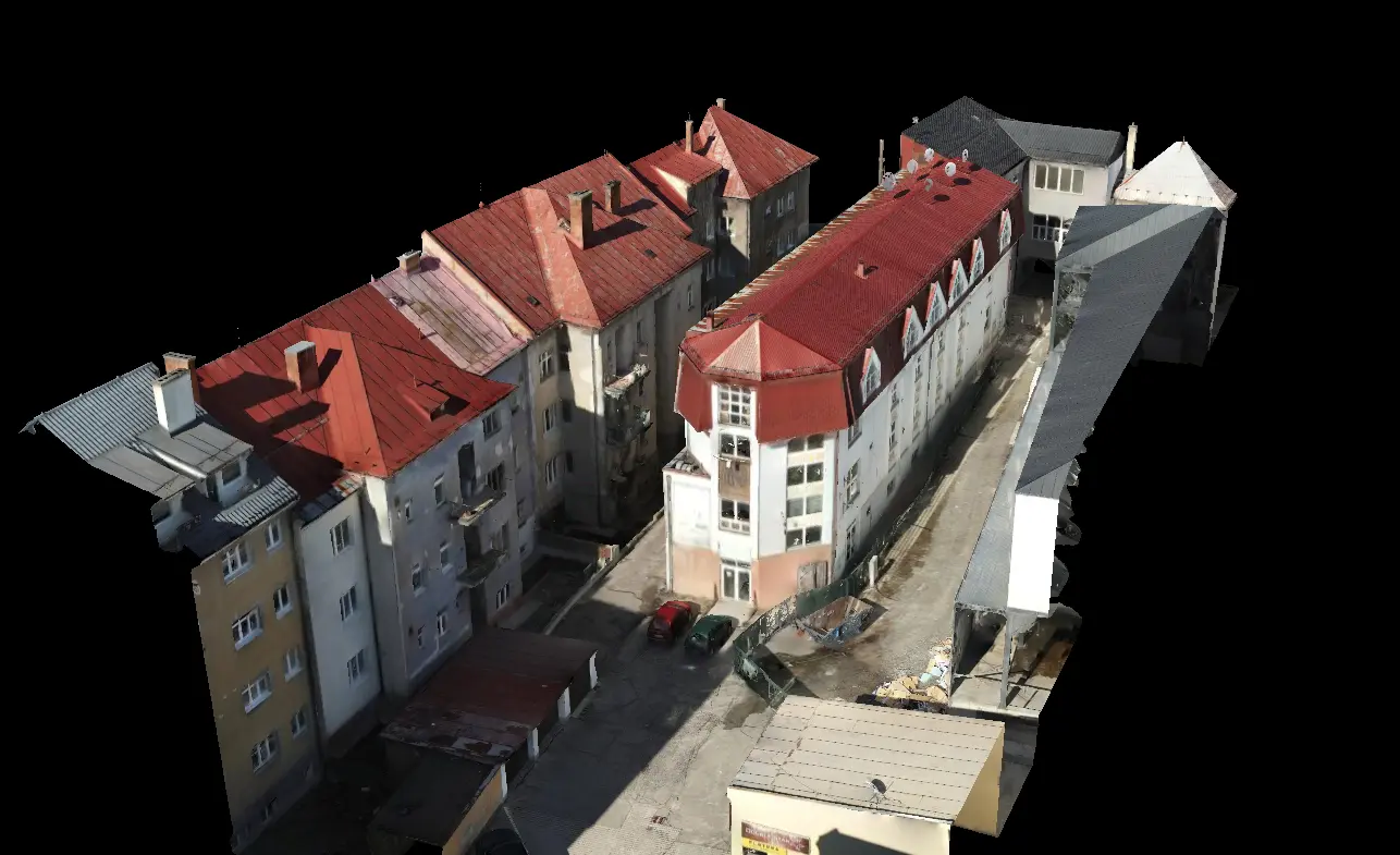
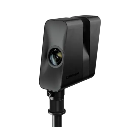
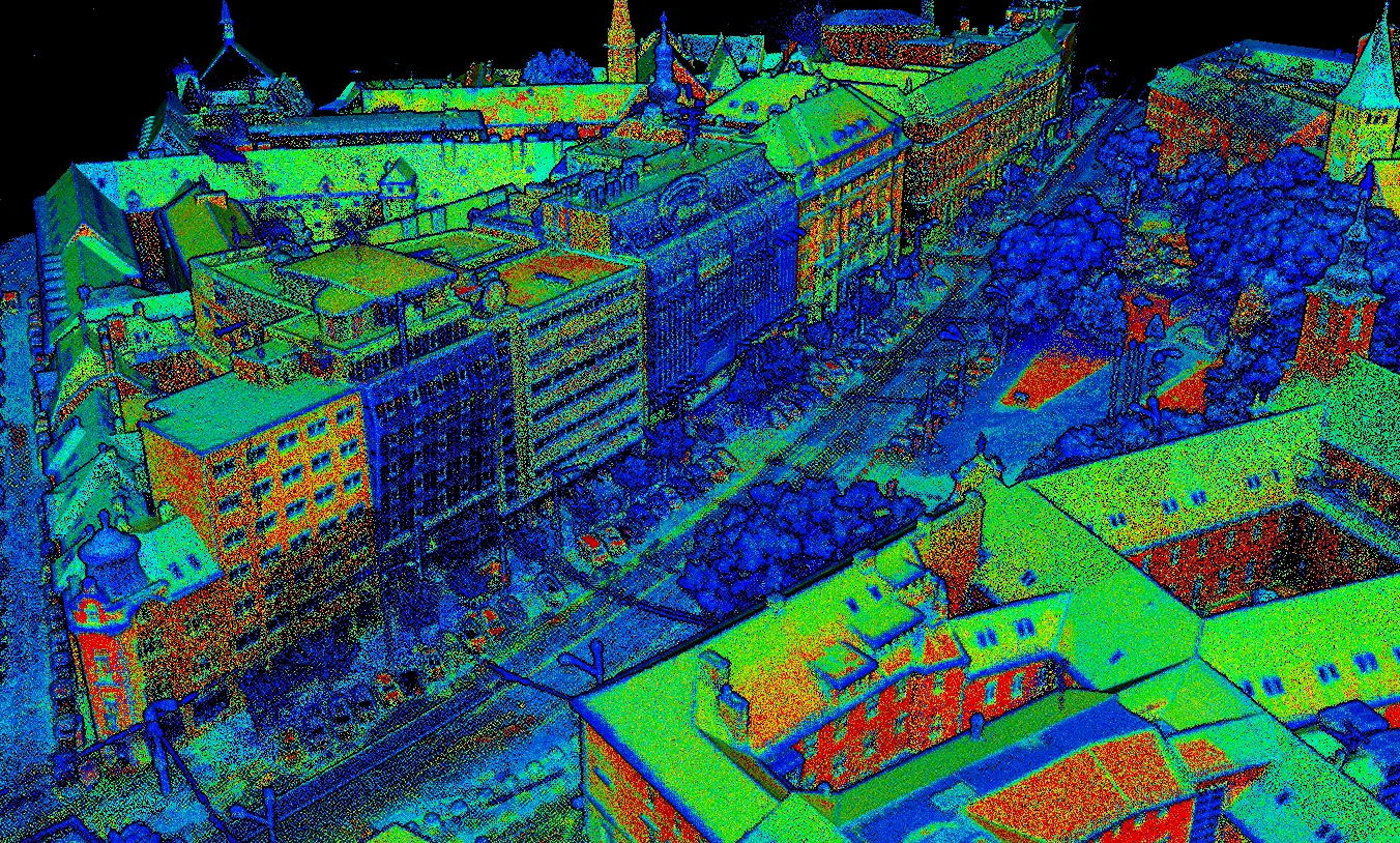
Fast and exceptionally precise capture of actual geometry of objects and spaces using laser scanning.
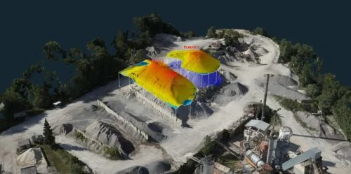
Aerial mapping with high accuracy and efficiency – orthophotos, 3D terrain models and GIS data.
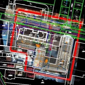
Comprehensive geodetic services for construction companies, engineers, developers and individual builders.
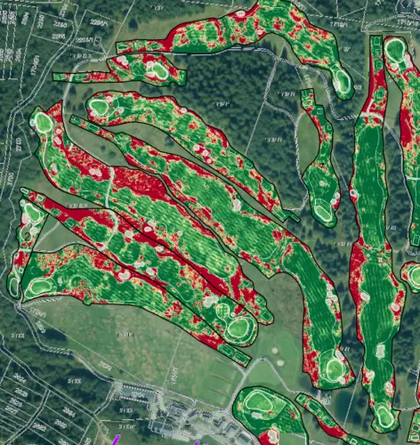
Monitoring of turf condition using drones – vegetation maps and analytical outputs for maintenance optimization.
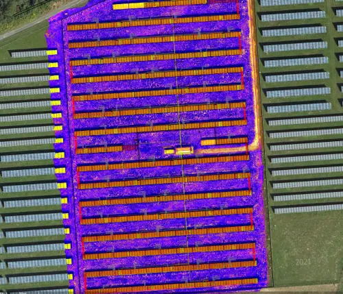
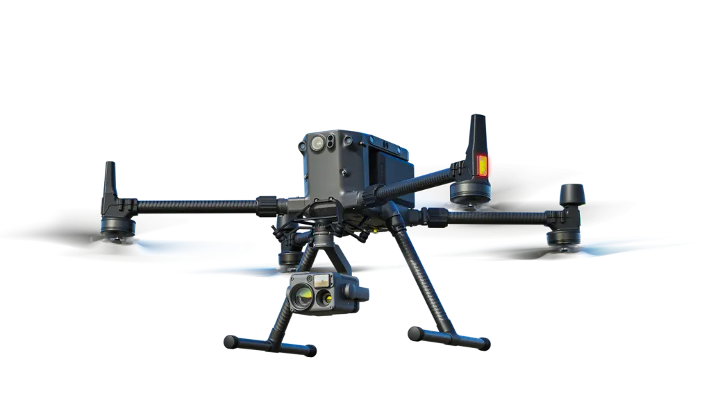
Fast and efficient inspection of solar panels using a drone with thermal camera – fault detection and reduced efficiency.
Inspection of technical objects and infrastructure from above – roofs, bridges, power lines, wind turbines.
Realistic digital model of space and interactive virtual tour – presentation without personal visit.
State-of-the-art 3D measurement and mapping method for fast spatial data acquisition.